It’s been a minute! The last several months have been hard. I live with Generalized Anxiety Disorder, and while I’ve been in consistent therapy for a year now, the anxiety grew and grew during 2019. Now I’ve been on an SSRI for two full months, and I cannot believe how much better I feel. My thoughts aren’t racing, anxiety lasts during predictable moments but doesn’t extend to anticipatory anxiety or latent anxiety, and I’m sleeping so well. I’m so excited to see how 2020 goes with this shift in mental health.
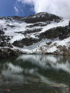
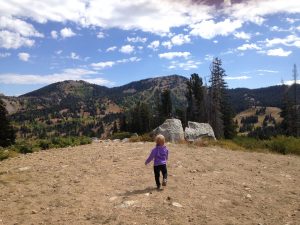
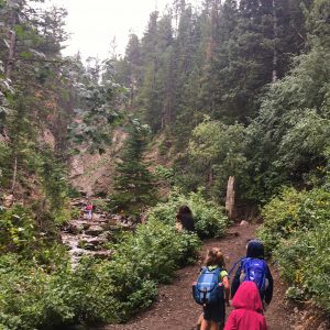
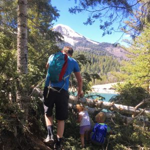
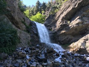
So, Donut Falls! I posted about hiking it here during the warmer seasons, and recently we went up with friends in January. It was lovely and not nearly as difficult as I anticipated. My kids are now just about 8 and 5, and both did it with just a bit of whining. Here’s a review of this hike from a snowy perspective.
OVERVIEW
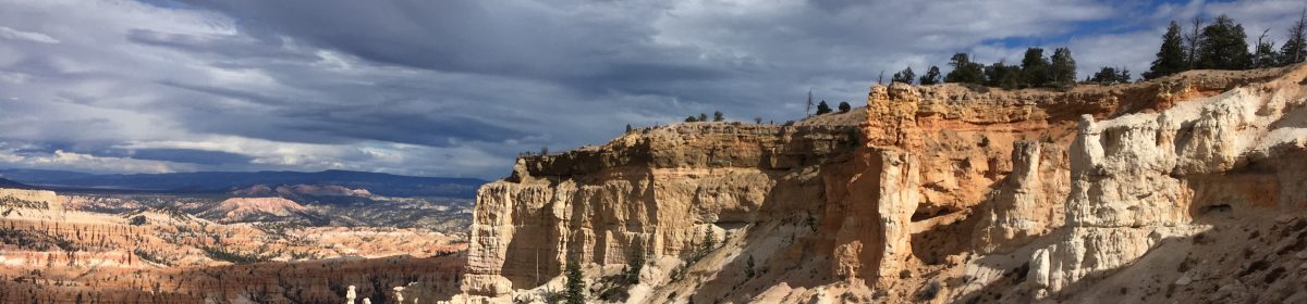
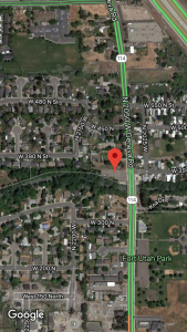
Where: Big Cottonwood Canyon, SLC. About halfway up.
Grown up difficulty: easy
Five year old difficulty: medium due to hiking in snow and starting out at the road
Length and elevation: AllTrails says 3.3 miles round trip, 550 ft gain
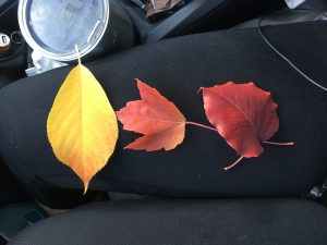
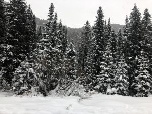
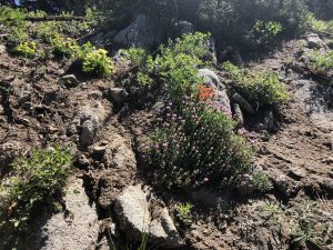
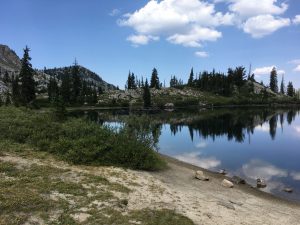
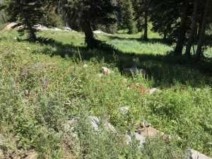
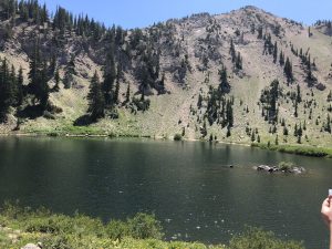
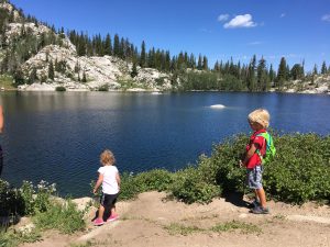
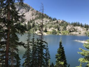
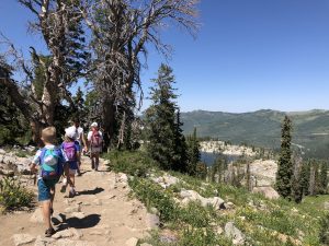
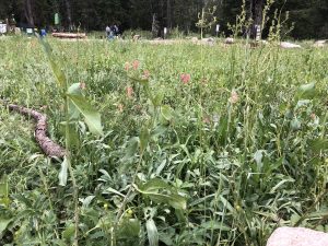
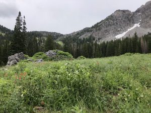
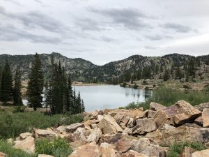
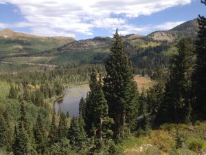
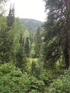
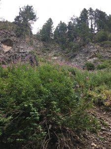
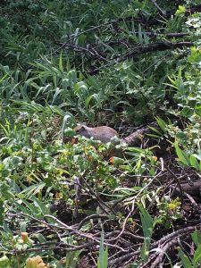
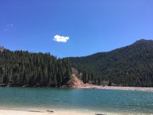
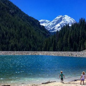
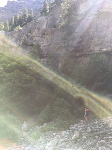
To see: foliage, river, waterfall, snow covered evergreens, animal tracks
Busyness: busy at the beginning, but thins out quite a bit
AllTrails: https://www.alltrails.com/trail/us/utah/donut-falls-trail
DETAILS
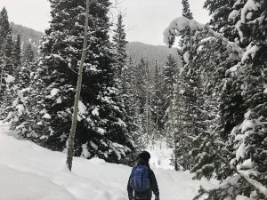
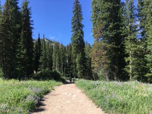
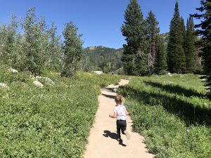
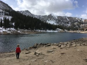
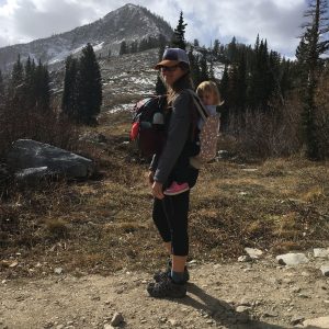
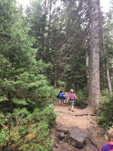
In winter, this hike begins by the road where you’ll see a lot of people sledding, taking pictures, and playing around. The road is pretty icy past the gate, and the signs indicate that sledding and skiing on the actual road is prohibited. Wearing spikes isn’t a bad idea. The road is on an incline, and after a turn climbs through beautiful tall trees. Make sure you and your littles have appropriate cold weather clothes on. If you need a reminder, I’ve got a post here and here to help. We also bring hand warmers along.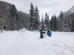
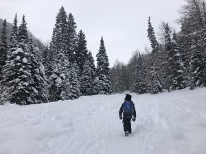
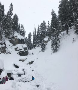
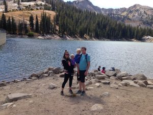
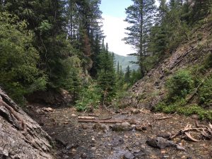
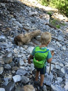
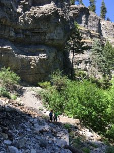
You’ll pass some cozy (sometimes huge) cabins tucked away on side roads as you approach the true trailhead. You’ll see the trailhead at the small bathroom and signs. We didnt need snowshoes up to this point, and for the most part we did fine without them. In the snow sound carries well, so you’ll hear if there are others around the trail. You’ll walk across a bridge and turn toward the end of the hike. At the climb down to the river, we had the kids sit down again. I had spikes on and did okay. The river was fully frozen over, but we still kept close eyes on the kids and had them stick to where others had hiked.
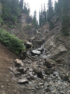
We got to the white placard and my husband climbed to the donut, while the rest of us stayed down. Our friends had microspikes for their whole family and made it up to the donut and back safely. I’m just too cautious for that type of thing. We saw a small fraction of the amount of people we normally see on this hike and it was lovely.
REVIEW
We had a blast exploring this area during the winter. Usually we stay near the road sledding, and venturing back was rewarding. Check for avalanche danger before you go, too.
Faves: waterfall, identifying animal tracks, snow covered evergreens
Hardest: climbing down to the river
Gear: for winter, carry spikes and/or snowshoes, hiking poles, and wear full winter gear
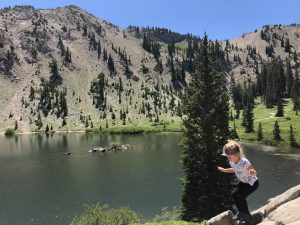
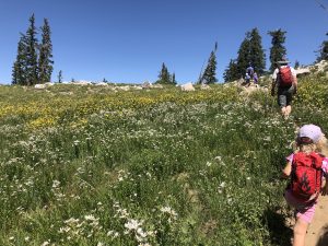
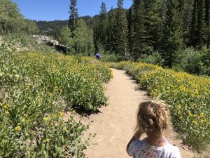
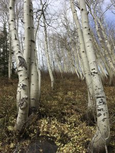
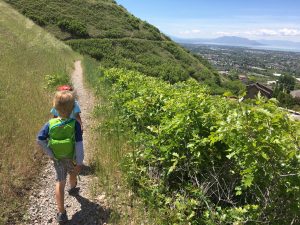
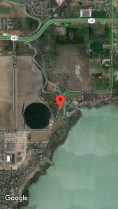
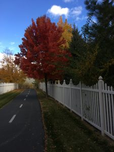
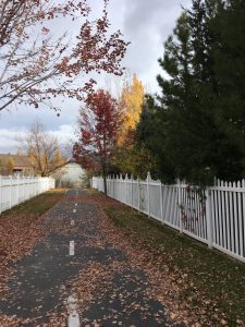
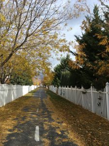
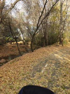 I stumbled upon this trail in the early fall. My daughter and I were in the area and had a couple of hours before needing to pick up my son from school, so I browsed Google Maps, found this one, and checked it out. Luckily it was a great shaded path!
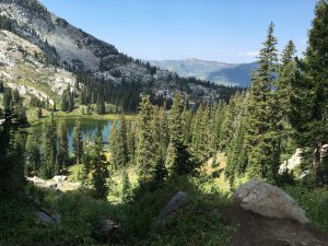
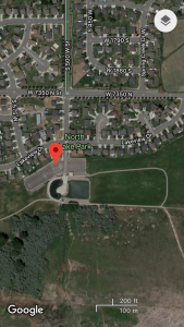